xmlns:og='http://ogp.me/ns#'

August 26, 2013

War planes over Tofino


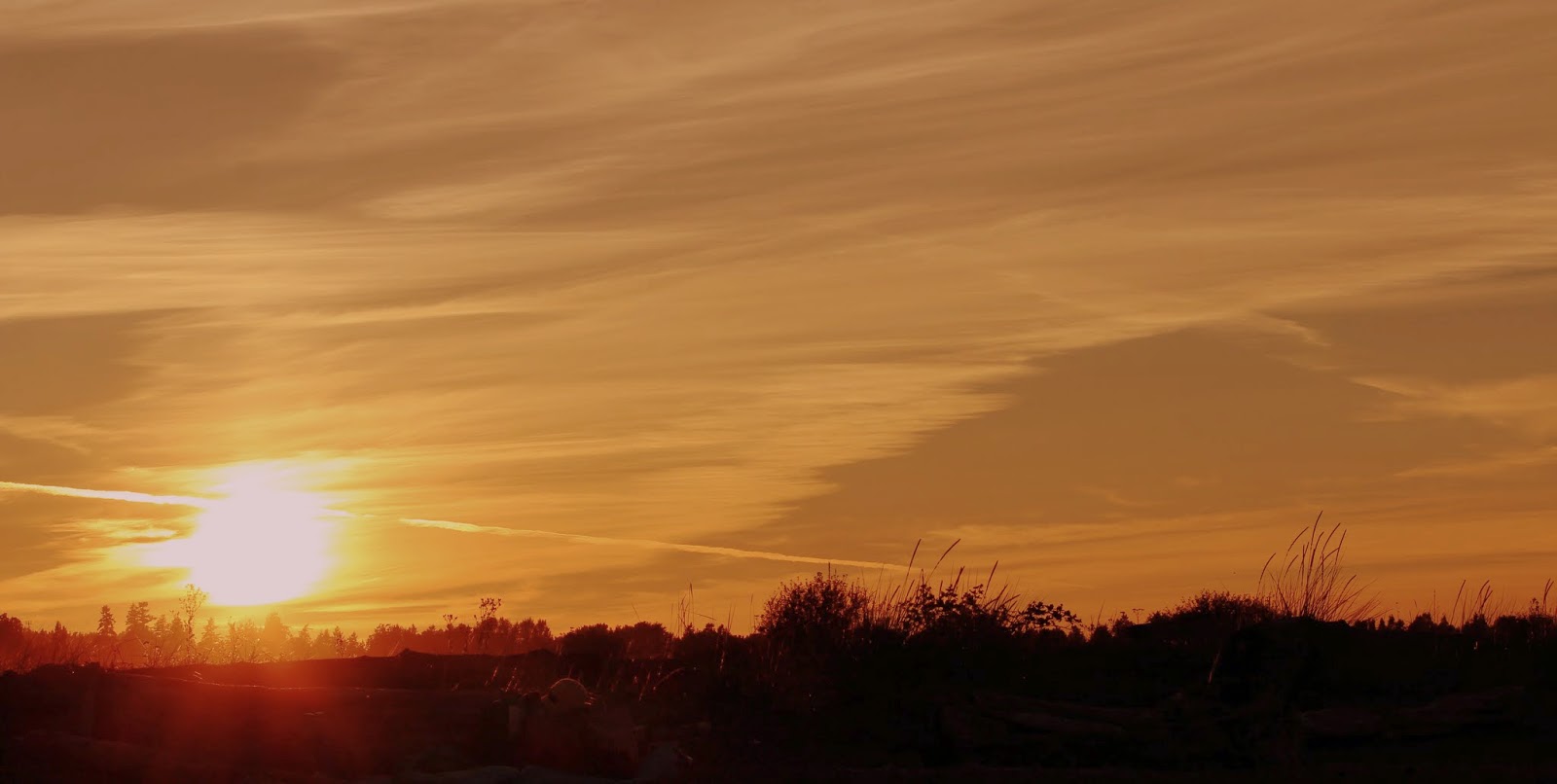
We have seen the contrails for years. Indeed, probably since the sixties when America's enemy was the Soviet Union. B-52s, or some variation, continue to fly up and down the coast of North America, sometimes veering off to fly along the Canadian - American border. The flights are impressively visible from Tofino.


B-52s began flying for the United States Air Force in 1955. They fly high and at relatively fast speeds. They are designed for war and carry an impressive array of avionics and armaments, including nuclear bombs. They have been upgraded and rebooted for a modern age, and with scheduled refurbishment this year and next, are expected to fly another thirty years.


During the American War in Vietnam, they were used for the infamous carpet bombing raids which destroyed huge swaths of country and city alike. During one mission in 1972, often called the Christmas Bombings, they flew 10 to 12 hour missions for twelve horrifying days. After a brief rest they started again after the New Year. Three million people were killed by the American forces during the ten years of their war.

And just what are these flights about today? Protecting America? Keeping the enemy at bay? Some sort of deterrent? Reconnaissance? What exactly are they looking for, fishing boats? It costs about $70,000 per hour to fly these war planes. That isn't the most expensive aircraft in America's arsenal, but it is an impressive sum.

Over 20 per cent of children in the US live in poverty, and that number is from official statistics. Can the US afford to have these weapons of mass destruction flying up and down our coast line every day? And with all our paranoia about pipelines and trains carrying "dangerous" cargo, what happens if one of these monsters crashes into a Canadian river, a fishing village or a city?

Photos copyright 2013 by Jim Murray.

August 24, 2013

Full moon rising over Mount Baker


August 20th offered yet another full moon. These full moon things seem to happen every month.


This time we viewed the full moon from Centennial Beach in Tsawwassen. The moon came up just to the north of Mount Baker in the USA, about 50 km east of Bellingham, Washington.


Baker is the highest mountain visible from MetroVancouver with a height of 3286 metres. It is the largest active volcano in the American Cascade Range. First Nations gave the mountain different names, including Koma Kulshan, Kulshan and Kobah. 


On a journey of exploration by the British led by Captain George Vancouver, his third lieutenant, a Joseph Baker, was first European to see the craggy mountain in 1792, and for some reason, the naming rights were given him.


A beautiful moonrise, a wonderful summer sunset and the water just right for swimming.


 Photos copyright 2013 by Jim Murray.

August 20, 2013

The stench of salmon farming in Clayoquot Sound


Salmon farming is big business in Canada and around the world with global sales exceeding ten billion USD last year. Leading producing nations are Norway, with 33 per cent of global production, and Chile, with 31 per cent. In BC, the salmon feedlot business is a foreign affair with 98 per cent of the industry controlled by Norwegian companies. Not that there is anything wrong with that of course.


While there are a few land-based feedlots, most raise hundreds of thousands of salmon in open net-cages suspended in the open waters of the ocean, that are anchored close to shore.

In Clayoquot Sound there are 21 salmon feedlots, with 16 operational at any one time. This surprised me as Clayoquot Sound was always a battle ground for environmentalists. It seems a strange place to find that many salmon feedlots.This one we passed early one morning. The fog was heavy and the size of the operation was difficult to take in from our boat, even more difficult from the photos. However the stench of rotting garbage was overwhelming; a putrid smell beyond comprehension. And they want us to eat this stuff?